By Wendy Corr, Cowboy State Daily
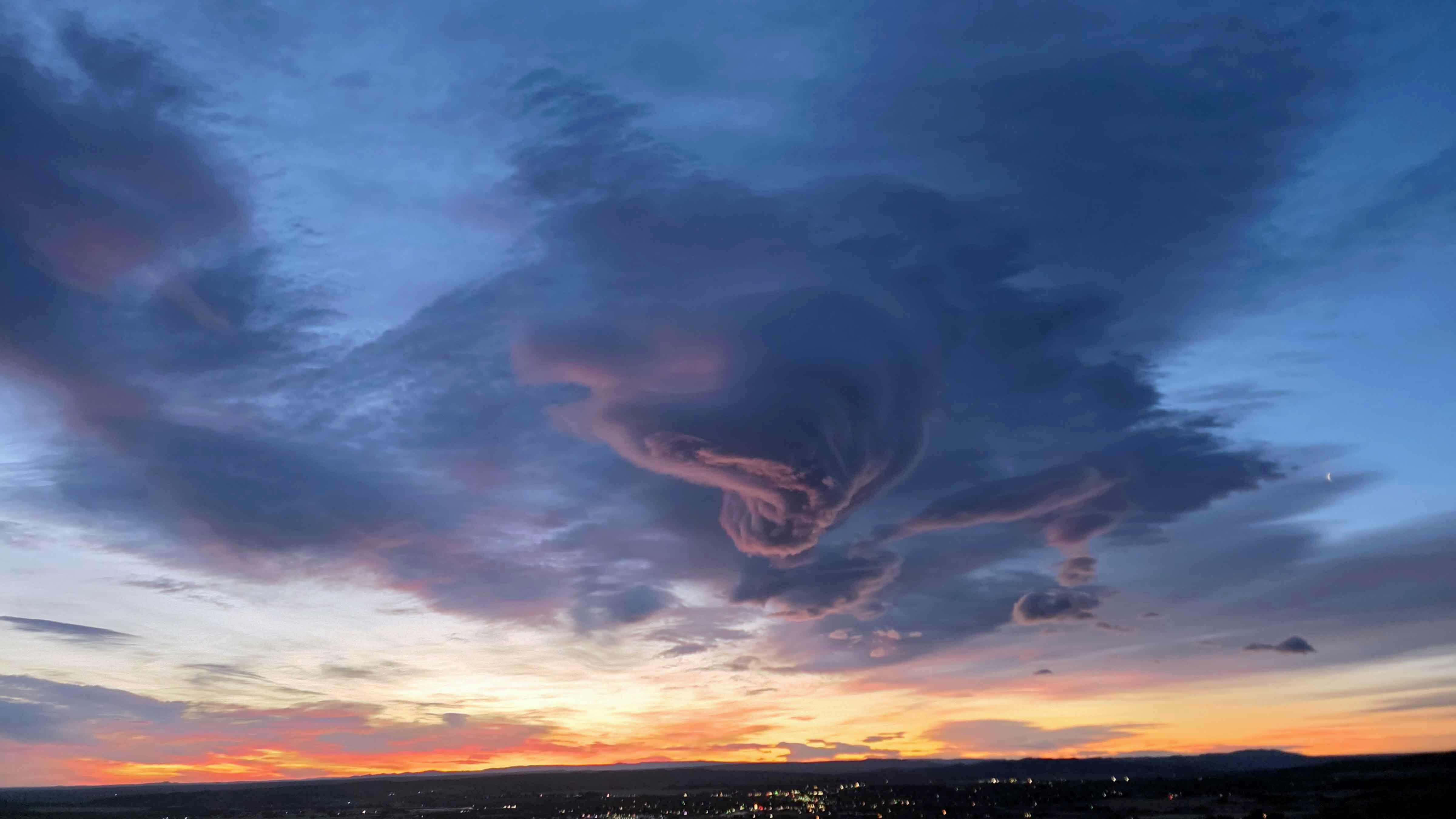
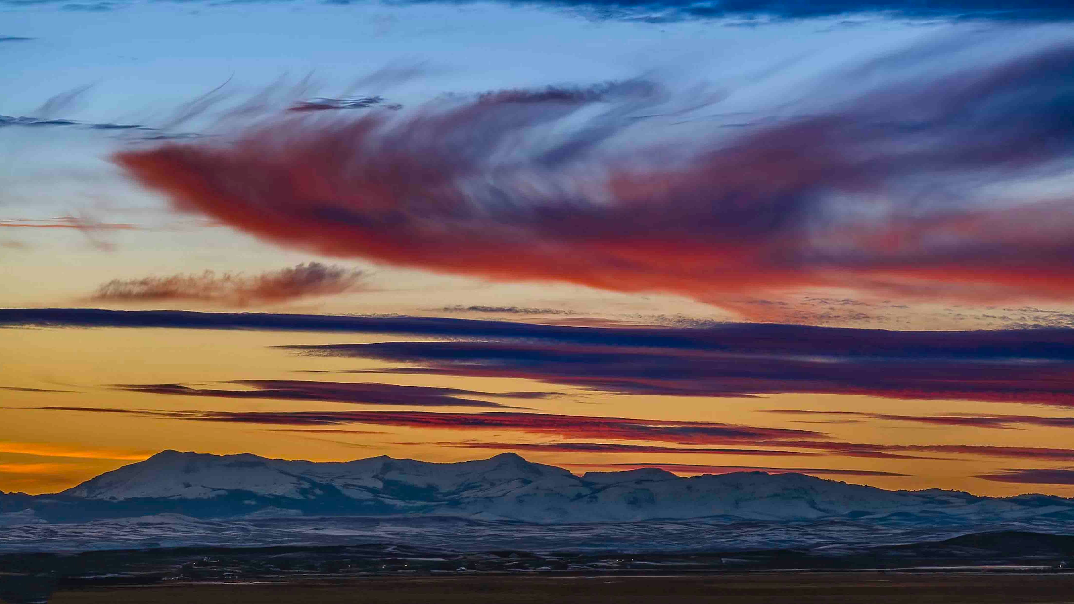
It’s Tuesday, January 24th – and much of southern and central Wyoming can expect light snow this morning. It should be a relatively quiet weather day – dry conditions are expected across the state through the afternoon, with temperatures peaking below normal for the most part.
Central Wyoming:
Mostly cloudy today in the Riverton area, with highs near 22, but wind chill values near zero. Casper will see partly sunny skies, with a high near 28, but winds could gust as high as 21 mph.
Overnight, the region will see isolated snow showers and mostly cloudy skies. Lows will range between 15 near Casper to around 1 near Riverton, with wind chill values as low as -5.
Southwest Wyoming:
Partly sunny today, with highs near 21, and wind chill values as low as -15 in Big Piney. Patches of blowing snow could occur near Green River, where winds could gust as high as 31 mph.
Overnight, the region will see mostly cloudy skies, with lows around 3 and wind chill values as low as -10 in Rock Springs and Green River, and -20 near Big Piney. Breezy, though, with gusts as high as 21 mph near Rock Springs.
Western Wyoming:
Partly sunny in western Wyoming today, with isolated snow showers expected after 5pm. Highs near 20, with wind chill values as low as -5 in Jackson and Afton, and as low as -15 near Pinedale. Gusts there could blow as hard as 28 mph.
Overnight, mostly cloudy in the west, with lows between -1 and 5. Isolated snow showers expected near Afton before 11 p.m. Partly cloudy in PInedale, with a low around -6 and wind chill values as low as -15. Winds there could gust as high as 23 mph.
Bighorn Basin:
Mostly cloudy in the center of the Bighorn Basin today, with highs near 30 in Greybull and 35 near Cody.
Overnight, scattered snow showers, mainly after 11pm. Mostly cloudy, with a low between 7 in Worland and 16 in Cody and Powell.
Northeast Wyoming:
Mostly sunny in Sheridan, with a high of 36. Buffalo can expect partly sunny skies, with a high near 32, and isolated snow showers after 4 p.m. Blustery and cold near Gillette, where winds could gust as high as 28 mph. Windchill values near Gillette could drop to 11.
Scattered snow showers overnight, mainly after 11pm. Mostly cloudy, with a low between 18 in Buffalo and 22 in Sheridan, which can expect up to ½ inch of snow. Blustery, with winds gusting as high as 24 mph near Buffalo and 37 near Gillette. There’s a 30 percent chance of snow near Gillette overnight, with wind chill values as low as 10.
Eastern Plains:
Partly sunny skies today, with highs near 30 in Douglas. Casper could see snow showers after 5 p.m., with wind gusts as high as 21 mph.
Mostly cloudy skies overnight, with temperatures between 15 in Casper and Fort Laramie and 20 near Douglas. Blustery, with gusts as high as 25 in Fort Laramie and 30 mph in Casper. Isolated snow showers before 8pm near Casper, then isolated snow showers after 11pm.
Southeast Wyoming:
Mostly cloudy, with a high near 21 in Rawlins and 27 in Cheyenne. Wind chill values between -5 and 5 in Laramie and Rawlins.
Mostly cloudy overnight, with a 20 percent chance of snow after 11pm near Laramie, with wind chill values between -5 and zero. Lows around 8 in Laramie and 14 in Cheyenne. Wind gusts near Cheyenne as high as 35 mph.
There’s a 20 percent chance of snow after 11pm in Rawlins. Mostly cloudy, with a low around 10.