Wyoming’s fire season is in full swing, and an incoming cold front is poised to potentially make things worse. Then, it could make things a lot better for those fighting the state’s active wildfires.
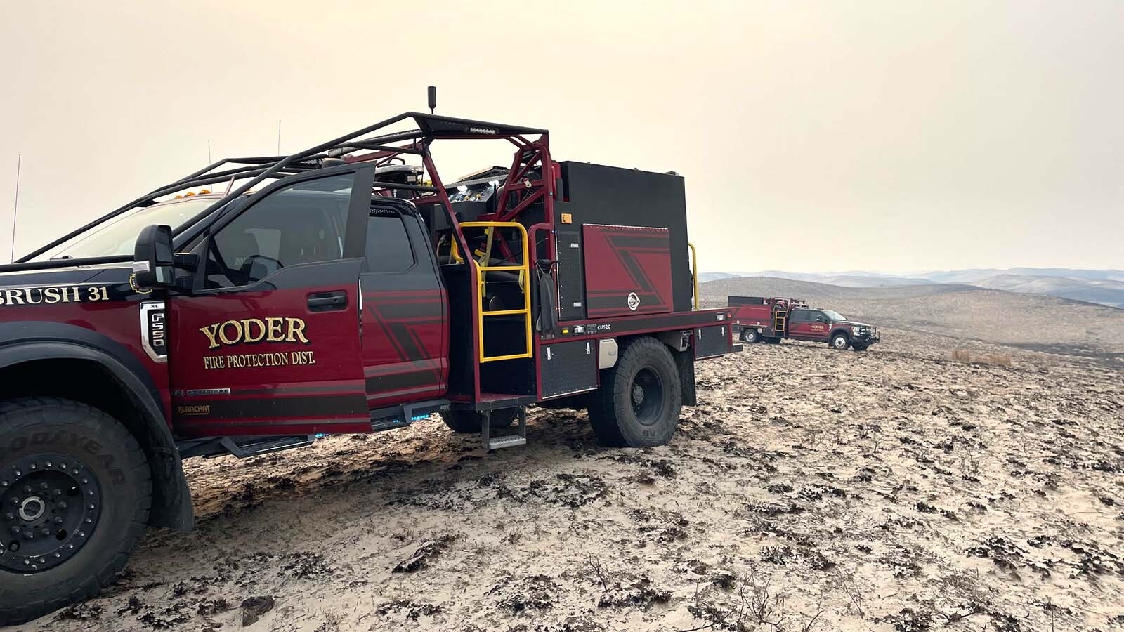
As of Thursday, the Red Canyon Fire, the largest active wildfire in Wyoming, has burned nearly 127,000 acres in the southeastern corner of the Bighorn Basin and is 31% contained.
Other active incidents include the Bull Lake Fire (525 acres), Sleeper Ranch Fire (20,657 acres) and the Spring Creek Fire (3,594 acres).
Fire restrictions have been enacted throughout Wyoming, including Yellowstone National Park, as summer heat and low precipitation continue to dry out the parched landscape.
Now, an incoming cold front is poised to stir up more trouble for firefighters and communities already threatened by wildfires. Once it has moved on, it will be followed by the first taste of a colder, snowier winter anticipated in the Cowboy State.
How could a cold front be worse for wildfires?
“It's one of those things where it's bad at first and then it gets better afterward,” explained Cowboy State Daily meteorologist Don Day. “There’s a good pattern of higher humidity, cooler temperatures, and scattered showers behind the front. We’ve just got to suffer through the front first.”

Cold Beats Hot?
The incoming cold front will descend into Wyoming from Montana on Thursday, Day said, adding that it will announce its arrival with strong, gusty winds.
“The first areas to see the front will be Sheridan, Buffalo and Gillette down to Casper on Thursday,” he said. “It’s already starting to cool off up there. Then, the front will start to sneak into other parts of the state overnight and on Friday.”
The Bighorns will “blunt the impact” of the cold front, at least initially, funneling it southward until it spreads across central Wyoming. However, it will find its way into the Bighorn Basin and the acreage being impacted by the Red Canyon Fire.
Day described the impact of cold fronts on wildfires as “a double-edged sword.” It won’t only bring more wind but fundamentally change the character of the wind as it moves through.
“A change in the wind direction may help (the firefighters), because it may push the fire back on itself,” he said. “But they’ll have to change how they attack the fire because there will be erratic winds over the whole fire, and it's certainly going to switch wind directions around and cause some gustiness.”
Day doesn’t anticipate a lot of wind in the Bighorn Basin from this cold front. The region won’t be wholly unaffected but should be spared the worst of the gusty winds.
Once the front has passed, the atmosphere will change in favor of the firefighters: cooler temperatures, more humid air, and a higher chance of precipitation.
“Air with higher humidity helps cool things off, and could bring a little bit of shower activity,” Day said. “Looking at the radar today, there's a little bit of shower activity moving off the Wind River Range today, which might bring some showers and thunderstorms in the area on Thursday afternoon.”
The potential of afternoon thunderstorms is its own double-edged sword.
A lightning strike from an afternoon thunderstorm sparked the Red Canyon Fire on Aug. 13. More lightning strikes, aided by erratic winds from the incoming cold front, could fan and spread the flames.
“In those circumstances, you don’t get to pick your poison,” Day said.
Barricaded Basin
Getting enough precipitation to aid or extinguish a Wyoming wildfire is hard enough in August, but it’s especially difficult in the Bighorn Basin. It’s one of the persistently driest places in the entire state.
“Some places in the Bighorn Basin average between seven and eight inches of rain a year, tops,” Day said. “That’s barely above what’s considered a desert climate. It's a naturally dry area and hard to get anything to precipitate.”
Any weather that descends upon Wyoming must overcome significant barriers to breach the Bighorn Basin. Day said the mountain ranges surrounding the basin deflect a lot of precipitation from going up and over into the interior and remove a lot of moisture from anything able to surmount the summits.
“If a storm's coming in from the west, the air sinks as it’s coming off the Absarokas and Wind Rivers,” Day said. “That's a chinooking effect, which dries the air out in the Bighorn Basin.”
Chinook winds are prevailing warm, westerly winds generated by the warming of air that has lost most of its moisture. These conditions create turbulent winds, especially in Wyoming’s mountainous areas.
According to Day, there’s nowhere for moisture-rich air to turn when it reaches the Bighorn Basin. No matter where it’s coming from, there’s a sizeable wall of rock ready to chinook it dry.
“If a front comes in from the Northeast, like the one arriving this week, the Bighorns block it,” he said. “If the front gets over the Bighorns, it's chinooking down into the basin. If a storm comes in from the north, it's chinooking off the Beartooths, the Pryors, and the north side of the Bighorns. If it comes up from the south, it’s chinooking off the Owl Creek Mountains between Thermopolis and Riverton. It’s hard to get rain into the Bighorn Basin.”
Winter Is Coming
Despite the initial onslaught of gusty winds from the incoming cold front, Day said the extended forecast following the front looks promising. Even the Bighorn Basin could benefit.
“There might be some liquid sunshine spreading into the area where the Red Canyon Fire is burning,” he said. “The best chance would be late in the weekend and early next week, so fingers crossed.”
Day recently published his extended forecast for the upcoming fall and winter. Based on current trends in the Pacific Ocean, historical data, and long-range computer modelling, Day expects a colder, snowier winter for most of Wyoming.
This cold front is a herald of the seasonal changes right around the corner. Once this front moves on, Wyomingites will feel the first touch of fall.
“A large part of the eastern side of the state will only reach highs in the 60s and 70s on Monday and Tuesday,” he said. “That’s low for August, and I think it's an indication of more to come this fall.”
Pick Your Poison
There are more than 600 personnel responding to the Red Canyon Fire. Fire managers are looking forward to any assistance the incoming cold front will bring to the Bighorn Basin, especially the anticipated 10 to 15-degree drop in morning temperatures.
Nevertheless, there’s also the concern of more afternoon thunderstorms that are too dry to produce precipitation but potent with lightning. Day encouraged the firefighters to keep their spirits up – even if it’s erratically windy in the short-term, everything’s looking better in the long-term.
“Would you rather have six days in a row of 100-degree temperatures and no chance of rain,” he said, “or a couple of days of erratic winds and four or five days of higher humidity and better conditions that will suppress fire growth? Ultimately, that’s what they want and that’s what we’ll get going into Friday and the weekend.”
Andrew Rossi can be reached at arossi@cowboystatedaily.com.