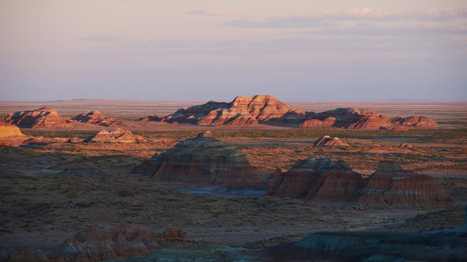
The most balanced plan for managing millions of acres of federal land in central Wyoming — and the alternative that Bureau of Land Management employees and others put the most time, effort and money into — was rejected by the past two presidential administrations, a retired BLM employee said.
Moreover, detailed maps of how road access might be affected in the Rock Springs region for all four alternatives – A,B,C and D – never saw the light of day, James Evans told Wyoming legislators.
‘Done In A Week’
By far the most research and work went into Alternative D, which was rejected by Trump and then Biden, said retired BLM petroleum engineer James Evans, who worked in the Rock Springs office.
Alternative A proposes just leaving things as they are on the roughly 3.6 million acres managed out of the Rock Springs office. Alternative B — the controversial current favored plan — leans heavily toward conservation and preservation. Alternative C skews the other way, toward as much energy development and other heavy uses as possible.
Alternative D struck a balance between the extremes, and took years of work and $8 million to develop, Evans said.
Alternatives B and C took only a short time to develop, he told members of the Legislature’s Joint Federal Natural Resource Management Committee.
The Trump administration likely would have pushed Alternative C because it favors more drilling for oil, he said.
But the Biden administration has gone to the opposite extreme, so the BLM now is pushing forward with Alternative B, which designates 1.8 million acres as “areas of critical environmental concern” (ACES).
Evans said it’s disheartening that two presidential administrations boosted the plans with the least amount of effort put into them.
“The science and the work to do that was all done on D,” Evans said. “And it’s kind of a shame that what the people in the field office and the cooperators spent all that time doing was rejected.”
Now many of those same BLM insiders who worked for years and spent millions of dollars fleshing out a balanced alternative instead have to push the administration’s preference and sell it to Wyoming residents and officials.
Access Yes, Or No?
Extensive work also was done detailing motorized access plans, including road maps, for all four alternatives, Evans said. But now questions linger over what access might look like going forward because the BLM has opted to not include a broad road policy, or “travel plan,” in the current process.
“Unless somebody can show you what the maps are, you’re going to have a hard time in understanding what’s closed and what’s not closed,” he said. “And they’re saying now that they’re not going to use the maps because they’re going to go back and do all that again. I don’t know what’s going to become of that then.”
Committee member Sen. John Kolb, R-Rock Springs ,had previously expressed concern over the BLM’s controversial resource management plan (RMP) for the Rock Springs area possibly shutting down motorized access to huge swaths of BLM land.
Kolb claimed that vast areas covered under the RMP are already essentially inaccessible on foot within a day, and are effectively cut off by snow during the winter.
BLM officials said that although road management is at least mentioned in the initially released draft of the RMP, that was in error and will be removed. The agency’s headquarters has decided that the “travel management plan” for the Rock Springs office will be handled as a completely separate matter.
But since the BLM’s national office decided to peel the travel plan off as a separate matter, the maps Evans and others helped draw up will likely never be used, he said. And that might mean that just how extensive, or restricted, motorized access will ultimately be in the Rock Springs area will remain an open question.
Mark Heinz can be reached at mark@cowboystatedaily.com.