It was a day to batten down the hatches Monday.
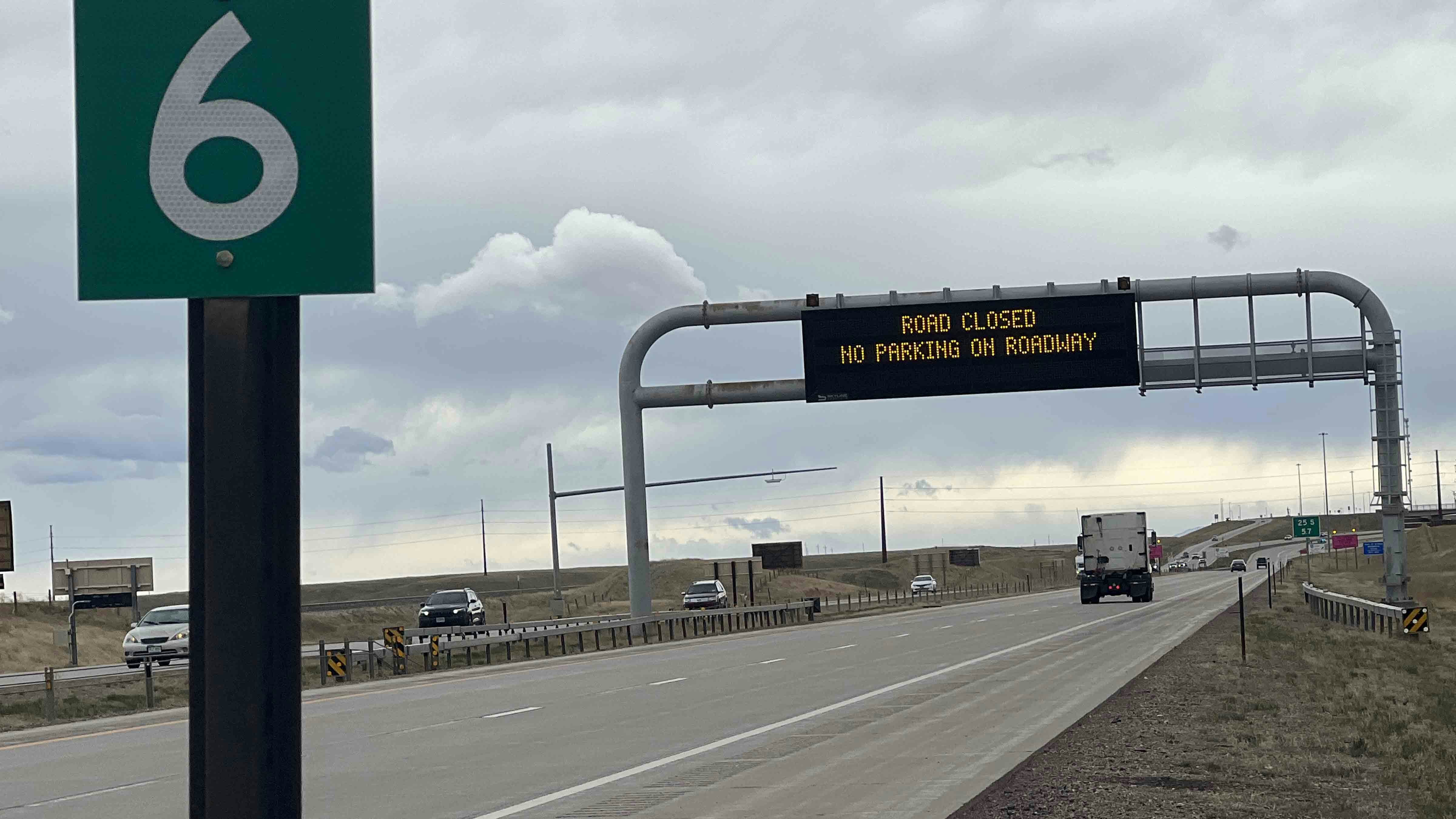
High winds pushing out from the mountains caused part of Interstate 25 to close in southern Wyoming by the afternoon because of toppled trucks, while other parts of the state saw snow and rain.
I-25 southbound was closed part of the afternoon between Cheyenne and the Colorado border because of active blow-overs in the area. The Wyoming Department of Transportation reported that there was crash in the right lane of northbound I-25 at mile marker 4.
Northbound I-25 remained open to general travel through this section but was closed to light- and high-profile vehicles, as was I-80 between Cheyenne and Rawlins. By 3 p.m., the full closure of southbound I-25 had been lifted, but the restriction for light- and high-profile vehicles remained.
Staying Put
Kerry Wood, a trucker from Indianapolis who pulled over at a truck stop just north of Cheyenne, told Cowboy State Daily he was going to “wait it out” as the winds gusting 60 mph or more wasn’t worth the risk.
“As they say, there are old truckers and bold truckers, but there aren’t old, bold truckers,” Wood said, laughing while exhaling from an unfiltered Winston cigarette.
“You just gotta know when not to drive, and this is one of those times,” he said.
Wayne Braddock, a truck driver from Haslet, Texas, who was enjoying a menthol with Wood outside the Flying J, agreed with his fellow driver.
“It just ain’t worth it,” Braddock said. “I’ve driven across Wyoming too many times. When the weather ain’t cooperating, you just park yourself. Consider me parked.”
Both said they may attempt to leave later in the day but were in no rush.
“I’ve got Netflix,” Braddock said. “I ain’t rushing things.”

What’s The Cause?
WYDOT put out an “extreme blow over risk” warning between the Colorado border as far north as Douglas on I-25 Monday afternoon.
Cowboy State Daily meteorologist Don Day said it’s not uncommon for Wyoming to get high wind events though early June.
Day said the high gusts are being caused by a downsloping wind event known as “bora winds,” defined by compressing wind being forced down off the mountains. Even though this wind should feel warmer than the air around it due to compressional heating, it isn’t because of the passing cold front.
The wind chill as of 2 p.m. Monday afternoon in Cheyenne was 32 degrees.
The National Weather Service put out a high wind alert for southeast Wyoming on Thursday, with gusts as high as 70 mph expected until 9 p.m. Day said the winds will be at their highest speeds through Tuesday morning, and could persist in mountain areas through Wednesday.
Day said he had registered a 77 mph gust in west Cheyenne shortly before midday.
The highest wind speeds by midday Monday reached almost 100 mph in some parts of Colorado.
Colorado Springs had the highest gust with a wind speed of 96 mph while Colorado City, a suburb of Pueblo, clocked a gust at 90 mph, and Boulder topped out at 87 mph.
Day said it’s common for spring storm events to cause precipitation in some areas and high winds in others.
An even gustier wind event hit Wyoming on April 6, with gusts reported as high as 91 mph that uprooted trees, while other parts of the state reported as much as 14 inches of snow.
While southern Wyoming was getting the wind Monday afternoon, northern Wyoming was receiving rain and snow, with visible snow accumulation in Buffalo. Day said this has been a persistent trend he’s seen over the last few months.
“The wind has just been battering the Front Range and Cheyenne,” he said.
Leo Wolfson can be reached at leo@cowboystatedaily.com.


