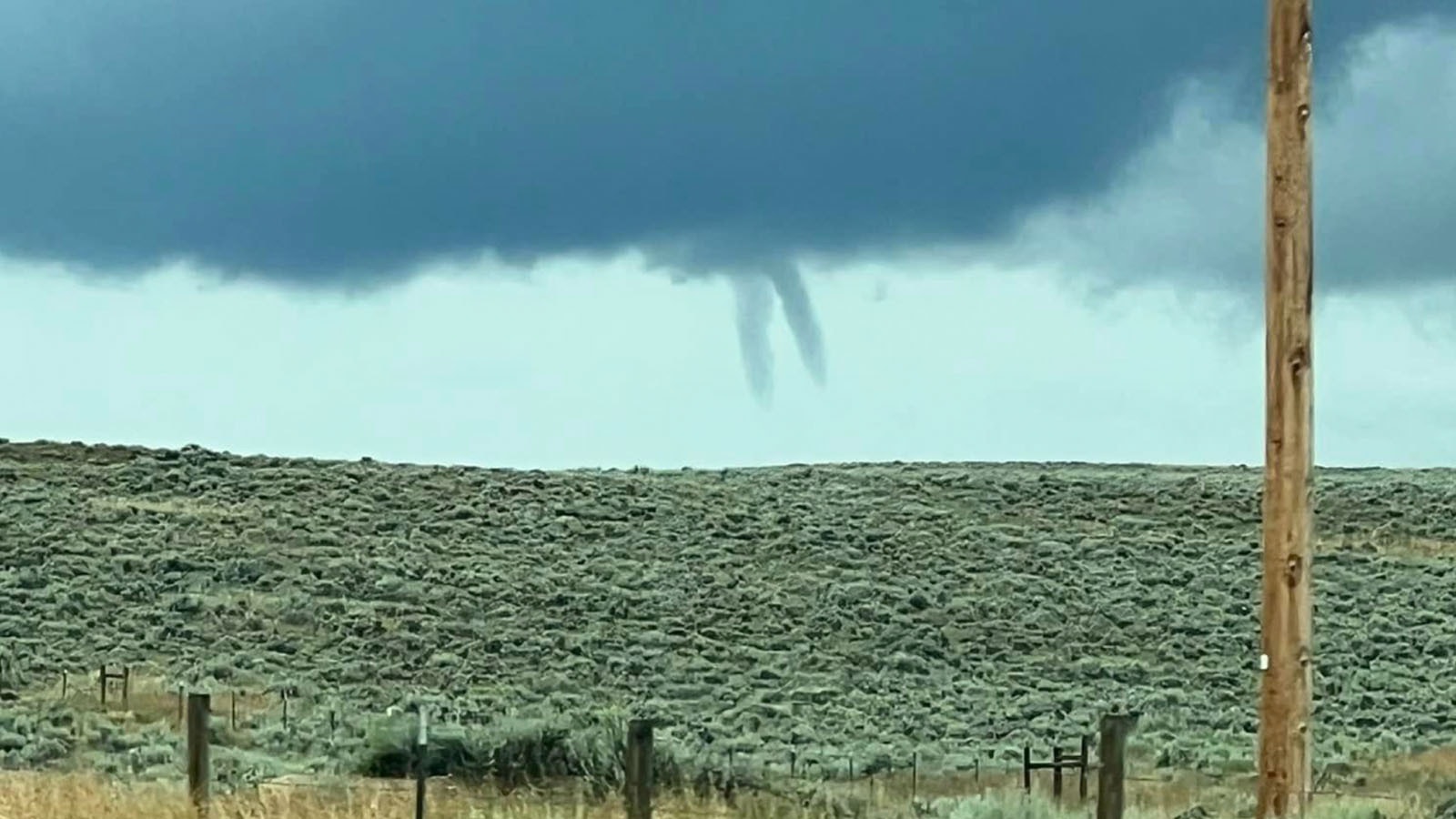
Although it may look like a rare double funnel cloud that was spotted over central Wyoming on Friday morning, it probably wasn't.
Winslow Friday, of the Wind River Intertribal Council of the Department of Transportation, took a photo of what looks like twin fingers dipping down from the sky just north of Ethete from Hell’s Hill on the Wind River Reservation.
Cowboy State Daily meteorologist Don Day said they were likely two separate land-spouts, not twin funnel clouds coming down from the same cloud formation.
“It’s a great looking photo but it’s debatable that they are a pair from the same cloud formation,” Day said.
“It’s likely two different thunderstorms,” he said.
He also said there wasn’t enough thunderstorm activity in the area to label them funnel clouds. Instead, they are more of a bargain basement weather phenomenon -- the lowly land-spout.
In order for the cloud formations to qualify as a funnel cloud, they must have a connection to the upper atmosphere, Day said.
Rather, land-spouts tend to form in “really moist patterns,” which is what the state of Wyoming is experiencing now.
“These land-spouts are quite easy to form and they tend to dissipate pretty rapidly,” he said.
Day said the National Weather Service didn’t issue a warning on Friday morning as they didn’t in Cheyenne two days ago when more lands-spouts were spotted.
“We’re getting a lot of these in Wyoming lately and that’s because of the monsoon pattern,” he said.
Day said most areas of Wyoming will experience cooler and wetter conditions through Tuesday.


